By Nyang’au Araka
Nyamira County is moving closer to adopting a 10-year spatial development framework expected to guide land use, urbanisation and infrastructure investment across the county.
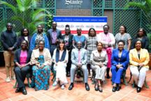
Governor Amos Nyaribo said the county had agreed on a draft of the Nyamira County Spatial Plan 2021–2030 following consultations with the County Assembly Lands Committee, House leadership and the municipalities of Keroka and Nyamira.
Also Read
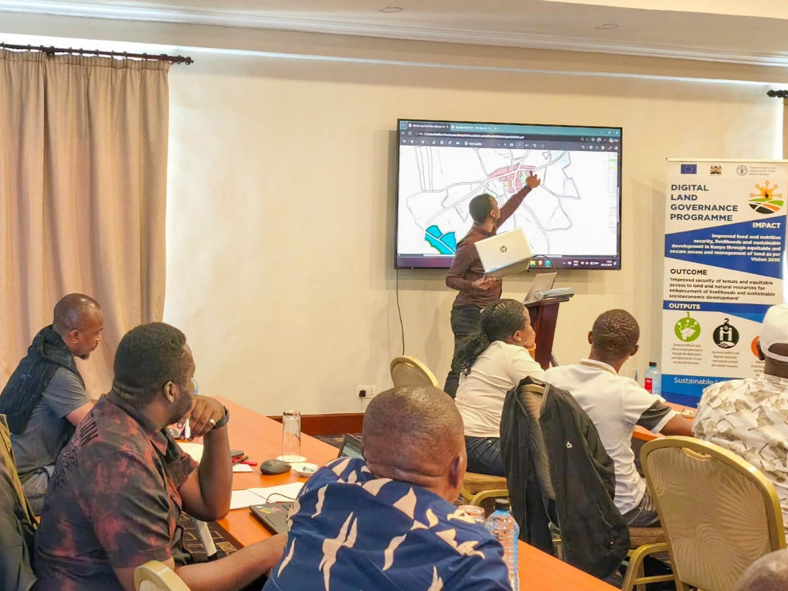
The draft was agreed upon during a two-day meeting in Nakuru and is expected to be tabled before the County Assembly for ratification in the coming days.
“We are inching closer to ratifying the Nyamira County Spatial Plan, which will guide and streamline urban development,” Nyaribo said.
He described the plan as a major milestone in the county’s efforts to establish standards for urbanisation and pursue integrated, multi-sectoral and sustainable development.
“It is a key strategic resource mobilisation tool for sparking and spurring urbanisation,” he said.
A county spatial plan provides a framework for determining how land should be used and where development, infrastructure and investment should be located.
It also helps coordinate urban and rural development while addressing issues such as environmental conservation, transport networks and access to public facilities.
Under the County Governments Act, 2012, counties are required to prepare 10-year, GIS-based spatial plans as part of their development planning frameworks.
The plans are subject to approval by the respective county assemblies and should be reviewed every five years.

The National Land Commission’s October 2025 report on county spatial planning listed Nyamira among eight counties whose draft plans were awaiting approval by their assemblies.
At the time, 19 counties had fully approved spatial plans, while others were at different stages of preparation.
Nyamira already has a municipal spatial plan covering 2021–2030, which provides a development framework for the municipality.
The countywide plan is intended to offer a broader spatial framework for coordinating development across the county.
Nyaribo said the process had involved several stakeholder engagements, with the latest consultations bringing together county officials, legislators and municipal leadership.
He also acknowledged the support of the Food and Agriculture Organisation (FAO), which has worked with the county on the planning process.
The proposed plan comes amid wider efforts by county governments to manage rapid urbanisation, coordinate infrastructure development and ensure that land and other resources are used sustainably.